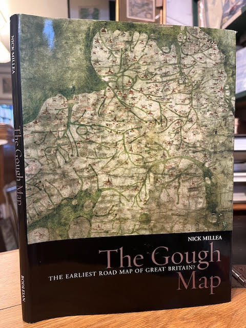
The Gough Map: The earliest road map of Great Britain
£125.00 GBP • Used
Scarce. 95 pp. Black hardback in a colour illustrated jacket. Minimal rubbing to jacket extremities. Board clean, internally clean. A study - with many colour illustrations - of early maps of Brit...
Store: FosterBooks [View Items]
Scarce. 95 pp. Black hardback in a colour illustrated jacket. Minimal rubbing to jacket extremities. Board clean, internally clean. A study - with many colour illustrations - of early maps of Britain, particularly the Gough Map, a 650 year old medieval map that was arguably the first to depict a recognisable British coastline as well as road and river routes between towns. Includes a fold-out reproduction of the map at rear. 1851240225
Product Info
ISBN: 1851240225
ISBN-13: 9781851240227
Publisher: Bodleian Library, University of Oxford 2008
Year: 2008
Type: Used
Binding: Hardcover
Seller Info
FosterBooks
Address: 183 Chiswick High Road London, London
Website: http://fosterbooks.co.uk
Country: United Kingdom
