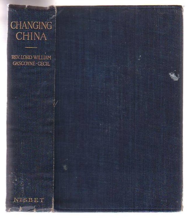
Changing China
$118.80 NZD • Used
Front free endpaper missing. Some staining and marking to wrappers. 2 1/2" split at head of rear spine joint. 1/2" tears to cloth at tail of front and rear spine joints. Up to 1/2" loss of cloth a...
Store: RenaissanceBooks [View Items]
Front free endpaper missing. Some staining and marking to wrappers. 2 1/2" split at head of rear spine joint. 1/2" tears to cloth at tail of front and rear spine joints. Up to 1/2" loss of cloth at corners of boards. Series of 1/4" tears along tail of spine. ; xvi, 342 pages + 32 illustrations on 16 plate leaves. The frontispiece, counted within the pagination, is a full page map titled "Railway Map of China". Blue cloth boards with gilt lettering on spine. Page dimensions: 218mm x 132mm. Selected illustrations: Railway Map Of China; Peking - Main Gate In Tartar Wall Leading To The Palace; Top Of Tartar Wall; Chinese Soldiers; Hankow, The Chicago Of China - River At Low Water, 600 Miles From The Sea; Han-Yang Ironworks; Ancient Civilisation Of China - Commerce - Chinese Junk; Commerce - Camel Train Bound For Mongolia; Chinese Civilisation - Its Bad Side - An Old Beggar; Its Good Side - A Garden; Gorges Of The Yangtsze - Trackers' Village; Fishing On The Yangtsze; An Awkward Moment; Junk Negotiating Rapids; Old China - Village Street; On The Yangtsze - Police Boat And Junks; Woman And Children; Chinese Architecture - Corner Of A Temple, Showing Construction; Summer Palace. ; 8vo
Product Info
Publisher: James Nisbet & Co
Year: 1910
Type: Used
Binding: Hardcover
First Edition
Seller Info
RenaissanceBooks
Address: PO Box 335 Dunedin, Not Required
Website: https://renaissancebooks.co.nz
Country: New Zealand


![The New Zealand Government Gazette for the year 1842. Vol. II, Nos. 1-53. [Complete volume for the year 1842]](/images/stores/2133/24447_4.JPG)
![[Greek letters: Hesuchiou Lexikon] Hesychii Lexicon, Cum Notis Doctorum Virorum Integris, Vel Editis Antehac, Nunc Auctis & Emendatis [. . .] [Two volumes]](/images/stores/2133/26080_3.JPG)
![The Spirit of Laws. Translated from the French of M. de Secondat, Baron de Montesquieu. With Corrections and Additions Communicated by the Author. Vol. I. [Volume I only]](/images/stores/2133/26081_2.JPG)