
Surveying the Shore. Historic Maps of Coastal Massachusetts, 1600-1930.
$30.00 USD • New
205 pp.; cloth in dust jacket; still in original shrinkwrap; illustrations, maps....
Store: GFWilkinsonBooks [View Items]
205 pp.; cloth in dust jacket; still in original shrinkwrap; illustrations, maps.
From Publisher:
Since British, French, and Dutch colonists vied for the territory we call New England, cartographers have drawn the region to suit their political and commercial goals. Cartographic historian Joseph G. Garver analyzes and illuminates ninety historic maps, connecting them with key developments in New England history and demonstrating how a community's maps reflect its view of the world. Setting out to help readers to understand some of the aesthetic choices, political attitudes, and economic constraints that have shaped the making of maps in this part of the world, Garver has done much more. Surveying the Shore is a rich and compelling history of New England, from the arrival of the first white men to the early twentieth century, revealed in some of the most beautiful examples of the mapmaker's art. Garver has culled his maps from the Harvard Map Collection, the Boston Public Library, the Boston Athenaeum, the State Archives, the Massachusetts Historical Society, the American Antiquarian Society, the Phillips Library at the Peabody Essex Museum, and Houghton Library. The result is a treasure for map lovers and history lovers alike.Product Info
ISBN: 1933212276
ISBN-13: 9781933212272
Publisher: Commonwealth Editions
Year: 2006
Type: New
Binding: Hardcover
Seller Info
GFWilkinsonBooks
Address: 10440 KEENAN WAY Grass Valley, California
Website: https://www.gfwilkinsonbooks.com
Country: United States
![[Poster] The White Rabbit Press : Albatross Book Store presents exhibits & talks.](/images/stores/4067/8384.jpg)
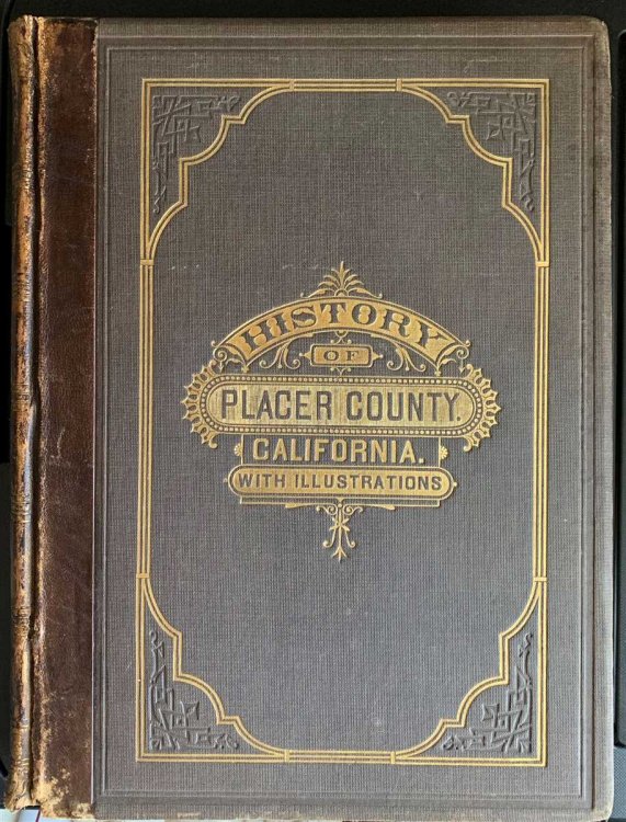
![[Presentation Binding] Bean's History and Directory of Nevada County, California. Containing a Complete History of the County, with Sketches of the Various Towns and Mining Camps, the Names and Occupation of Residents; Also, Full Statistics of Mining and all Other Industrial Resources](/images/stores/4067/10989.jpg)
![[2 Items] Hymn to the Gentle Sun, [Together With] Broadside: the Jester is Not Always Volunteer](/images/stores/4067/11965.jpg)
![The Encyclopedia of Tarot [ 4 Volumes, Complete]](/images/stores/4067/11990.jpg)
![[Door Sign]](/images/stores/4067/11992.jpg)