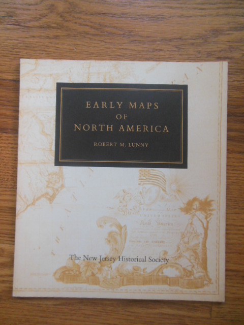
Early Maps of North America (1961
$12.00 USD • Used
This is an oversized booklet which looks much newer -- no toning, no creases, no names or writing. It measures 8-1/2" x 9-1/2" and is printed on very nice cream colored paper. Booklet has 48 pages...
Store: GarrisonHouseBooks [View Items]
This is an oversized booklet which looks much newer -- no toning, no creases, no names or writing. It measures 8-1/2" x 9-1/2" and is printed on very nice cream colored paper. Booklet has 48 pages and is illustrated with 26 full-page black and white maps. There is also much text. The first example is the map of the woprld by Mercator in 1538 and the last one is a road map showing Holme's to Philadelphia by Christopher Colles 1789. Very nice! (H-I)
Product Info
Publisher: The New Jersey Historical Society
Year: 1961
Type: Used
Binding: Softcover
Seller Info
GarrisonHouseBooks
Address: 329 Roshon Drive Medina, Ohio
Website: https://www.garrisonhouseephemera.com
Country: United States
