Boon Island
$20.00 USD • Used
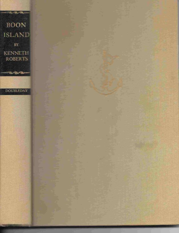
Tan cloth with black background behind lettering, 275 pp. Spine a bit cocked, corners bumped, slight edge wear and rubbing. Free end papers have a darkened strip. No dust jacket. ;
Stated ...
Store: OrielisBooks [View Items]
Tan cloth with black background behind lettering, 275 pp. Spine a bit cocked, corners bumped, slight edge wear and rubbing. Free end papers have a darkened strip. No dust jacket. ;
Stated first edition. Both end papers have maps showing the Route of the Nottingham Galley. An inset map shows the trans-Atlantic route, and the main map its final leg ending at Boon Island off the coast of Maine. ; 7 " - 9 " Tall; 275 pages; "Boon Island today is a humpbacked boulder-strewn ledge that would be hardly perceptible to those who live along the seacoast of southern Maine if it weren't for the tall lighthouse that rises from it. . . Visible from Cape Porpoise to Portsmouth. But in the winter of 1710, when the ship Nottingham wallowed down the Maine coast in a howling northeaster, 135 days out of Greenwich, there was no lighthouse. . . Nothing but the rock. By the incarnate demon of ill fortune the Nottingham struck that rock, in the snow and the dark and the freezing cold, and the resulting story stands alone as an unrivaled drama of the sea and of man's refusal to succumb to disaster, even when deprived of food, of fire, of tools, of everything but a few scattered pieces of driftwood, sails and cordage."
Product Info
Publisher: Doubleday & Company
Year: 1956
Type: Used
Binding: Hardcover
First Edition
Seller Info
OrielisBooks
Address: 1 Martha Lane Chapel Hill, North Carolina
Website: https://www.orielisbooks.com
Country: United States


